May 3, 2019
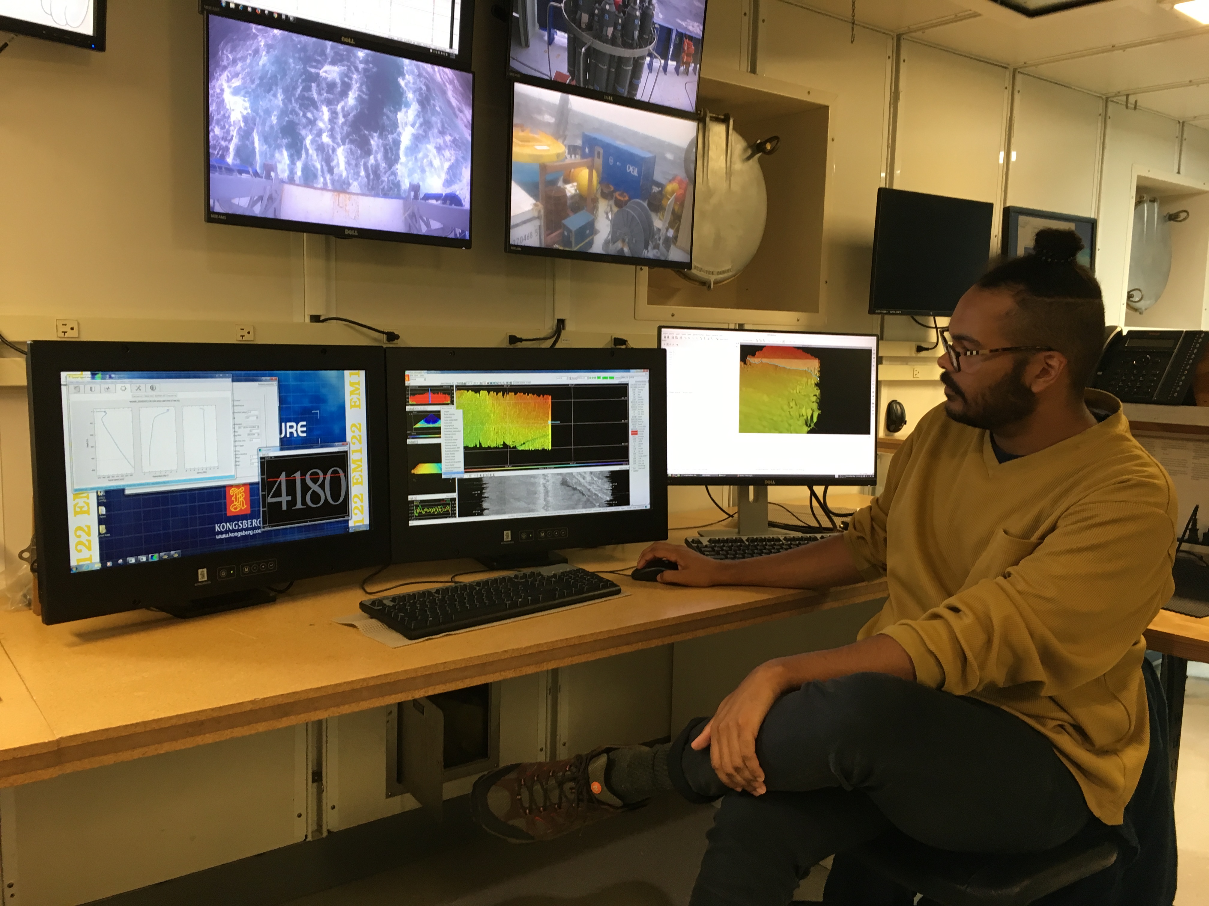
Within today’s activities we focused on a couple of main topics. To start out the day, we learned about the basics of multibeam sonar. Multibeam sonar is a method to read the bathymetry of the sea floor similar to the echolocation abilities of a bat or a whale. By sending out high frequency sounds, known as “pings”, and measuring the time that it takes for the sound to return to the ship can allow scientists to map out the sea floor. As compared to past sonar methods where the sound came back in small data sets, multibeam sonar sends out a lobe of sound that originates from a single point and radiates out to a specific width, known as the swath. This return as a plethora of individual pings that, by taking into account the heave, pitch, roll, and yaw of the boat as well as the angle that the ping returns at, the sea floor can be mapped at an incredibly high resolution.
There are many procedures and factors that must be taken into account when collecting multibeam sonar data. When research vessels use the multibeam sonar the purpose of mapping, they have to follow a survey path where the ship goes back and forth over the ocean to collect larger areas of data. These back-and-forth lines need to be close enough that the swath of the sonar overlaps enough to make the data of the seafloor as accurate as possible. Otherwise, if the course is too spread out, the data will have holes in it, which are known as holidays. Therefore, knowing the width of the swath is crucial to planning out the path that the boat will take. Calculations for mapping the data requires knowledge of the heave, pitch, roll, and yaw, which cause changes in the angle of the swath of the sonar. These are based on a reference point which is placed on research vessels and generally have very large masses so that they are not displaced over an area. In the R/V Neil Armstrong, the ship has a large granite block. All calculations are calibrated based on this reference point. The heave is the up and down motion that the ship takes being on the water, the pitch is the forward and backward motion, the roll is the side-to-side motion, and the yaw is the swivel of the boat since the boat is not going in a perfectly straight course.
The amount of sound that returns to the boat is known as the signal excess and relays a lot of information that can be used back on the ship. The sound will hit a medium that has a density that is high enough to reflect the frequency being fired. Variabilities in the surface will cause different time returns. The amount of sound that returns is also a function of the material it is reflecting off of itself, such as how hard or soft, flat or rough, or how course the grain size of the sediment or rock is. Therefore, surface composition can be deduced based on the type of return.

Another one of the topics that we focused on today was cores. Through the International Ocean Discovery Program, coring is done all over the world with a total of 23 total member nations on the research vessel, the JOIDES Resolution. In size, it is twice as long as the R/V Neil Armstrong and has 6000 meters of pole for coring purposes. Core lengths done on this ship are in segments of 9.5 meters, which are split into smaller segments of 150 centimeters for closer study.
Various drills are used to extract the cores from the ocean floor, varying based on the strength of lithology of the medium being drilled into. In shallow waters, cores come up much faster than when drilling has gotten to deeper levels since it takes a while for the core to be brought up at lower depths. Once the cores are extracted, the samples are cut in half using wire or a saw. Half of the core is saved in archives for non-invasive study while the other is used for further testing by the crew. The core is described layer by layer for cataloguing and study.
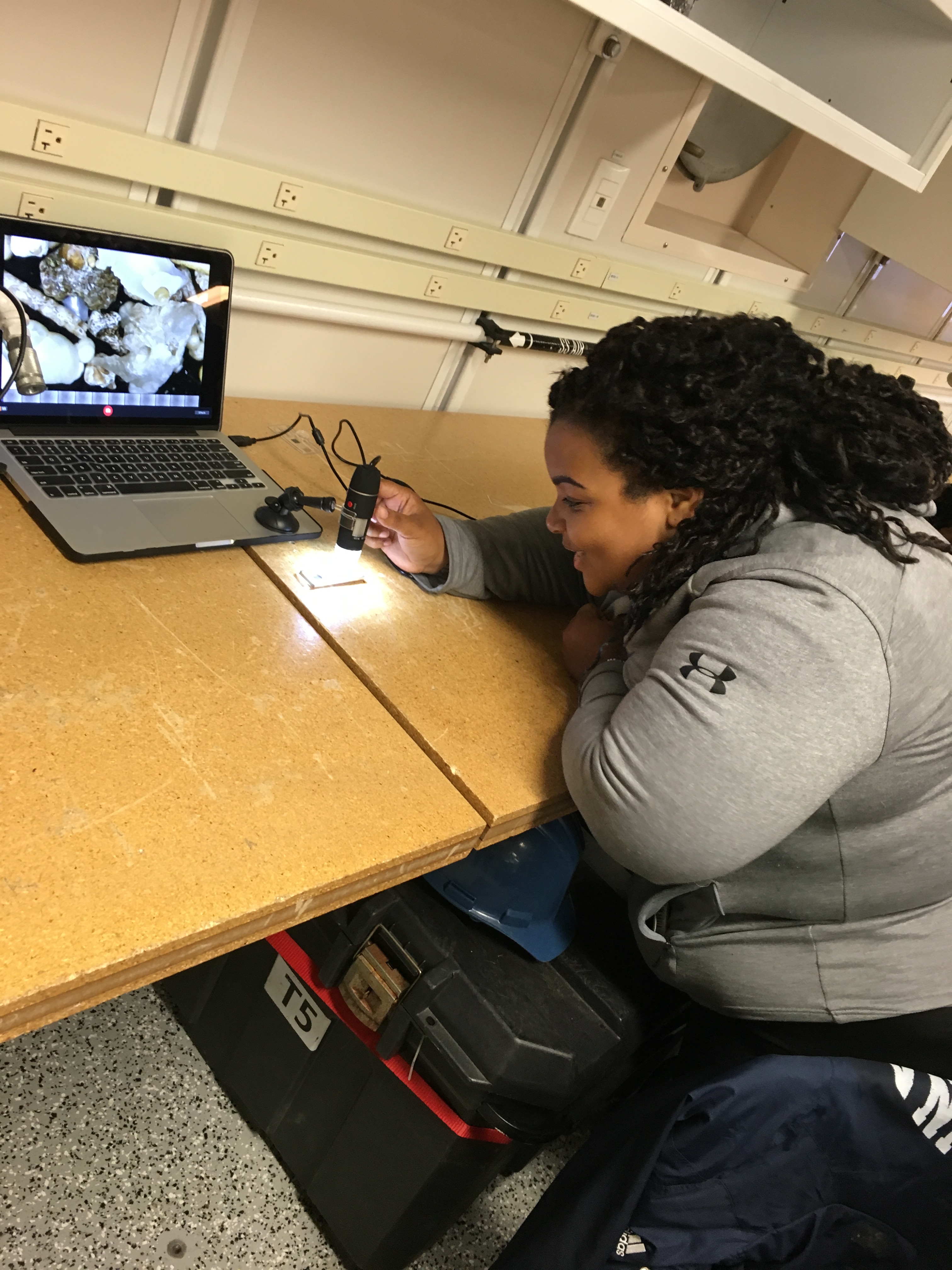
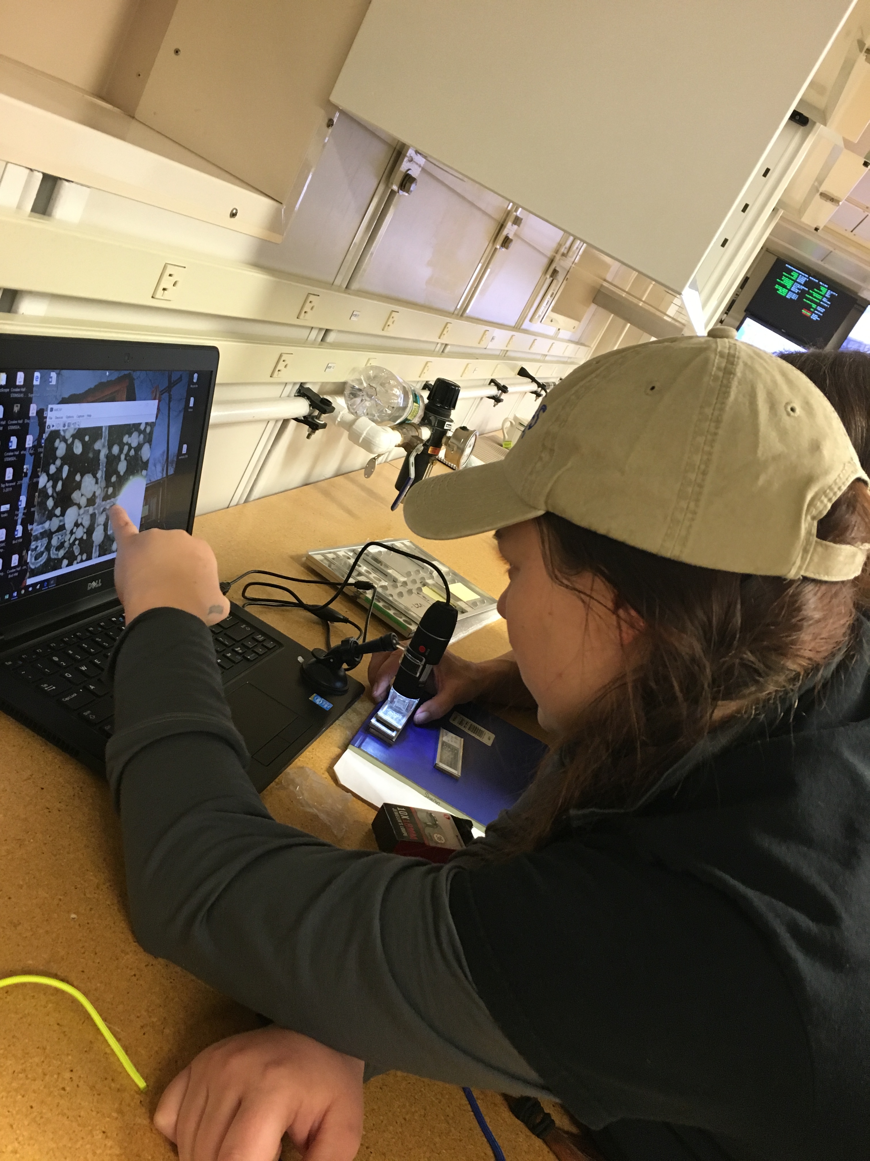
Finally, we talked about foraminifera, which are calcium carbonate secreting, chambered organisms. They are great indicators for paleoclimates of areas. When taking cores on the sea floor, scientists can study layers for presence of specific foraminifera species to look for concentrations of species in an assemblage. These concentrations, based on knowledge of current foraminifera and their habitats, can show what type of climate existed in the areas that they were found in. These are strong indicators of water temperature. The five main temperature groups for planktonic foraminifera are tropical, subtropical, transitional, subpolar, and polar. After talking about the different types of planktonic foraminifera, we looked at samples with hand lenses and underneath digital microscopes.


-Danah Gissler
California State University Stanislaus


